Our services
Survey support from site planning to project completion.
Practical surveying solutions tailored to builders, developers, engineers, architects, designers and property owners.
01
Contour & Feature Surveys
Accurate measurements of terrain, structures and other site features which can then be used for detailed analysis, planning and design.
Your first step in planning, designing, property development and Local & State approvals, a Contour & Feature Survey is the base of your project.
- Detailed site levels and visible features
- Builder-ready CAD and PDF plans
- A practical foundation for design and approvals
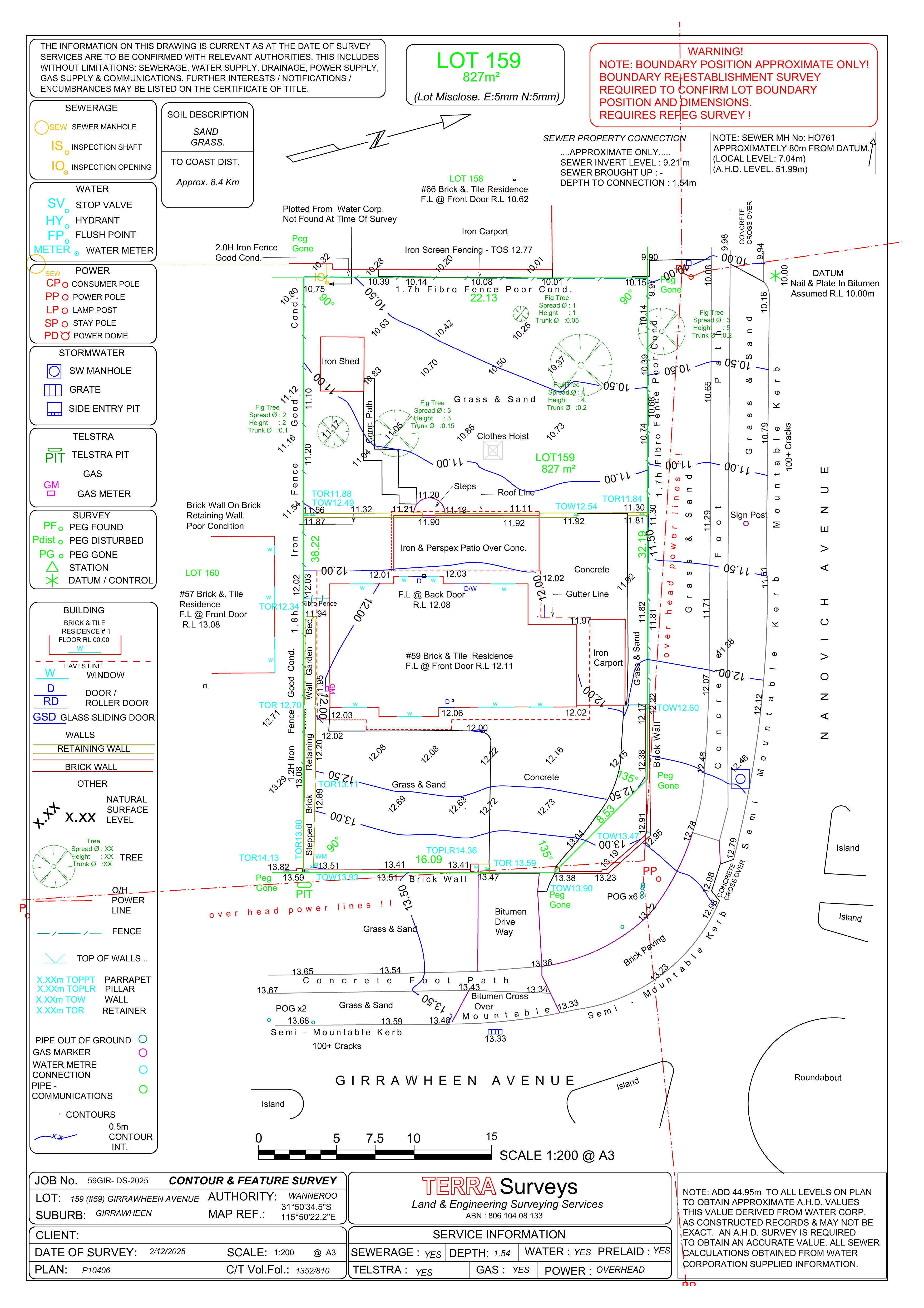
Click image to enlarge
02
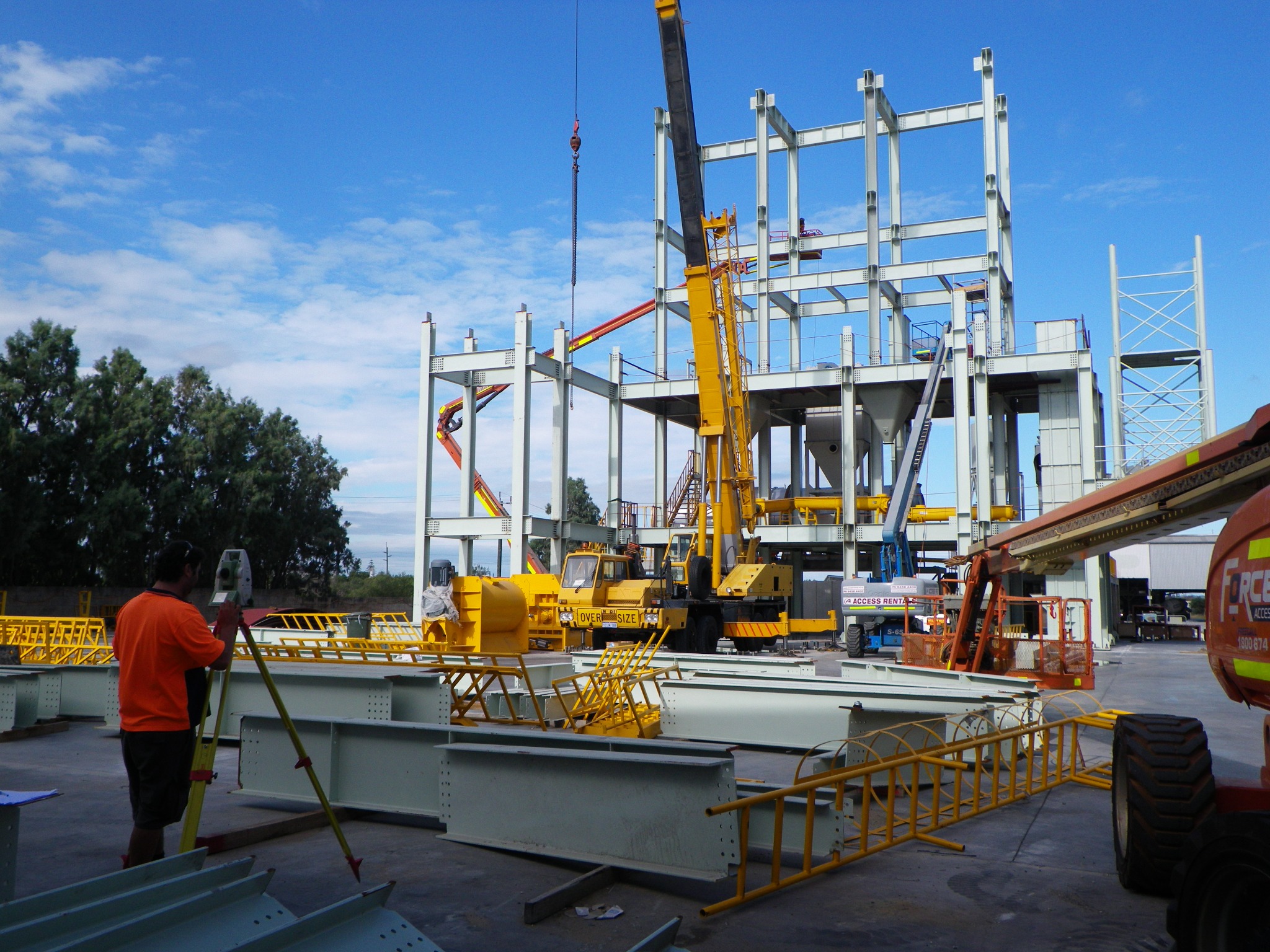
Construction & Building Setout
Accurate construction and building setout for buildings, structures, earthworks, civil works and project control.
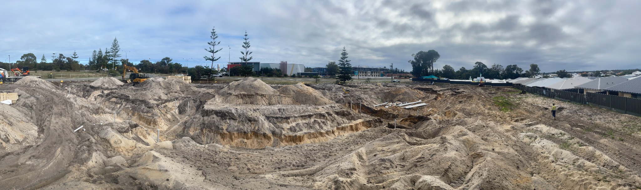
Subdivision Civil Works
03
Engineering Surveying
Reliable field data, control, setout and verification support for infrastructure and major engineering projects.
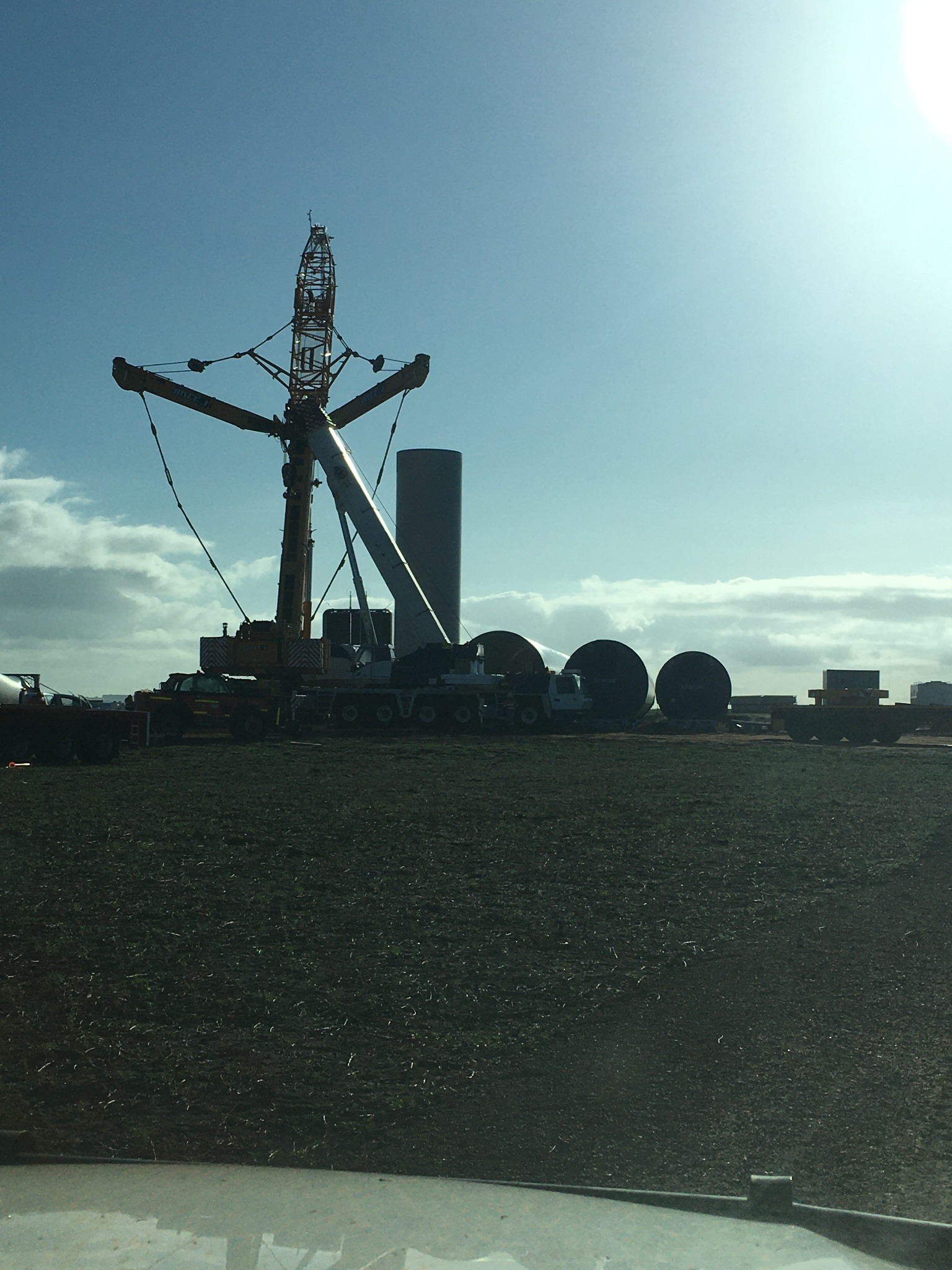
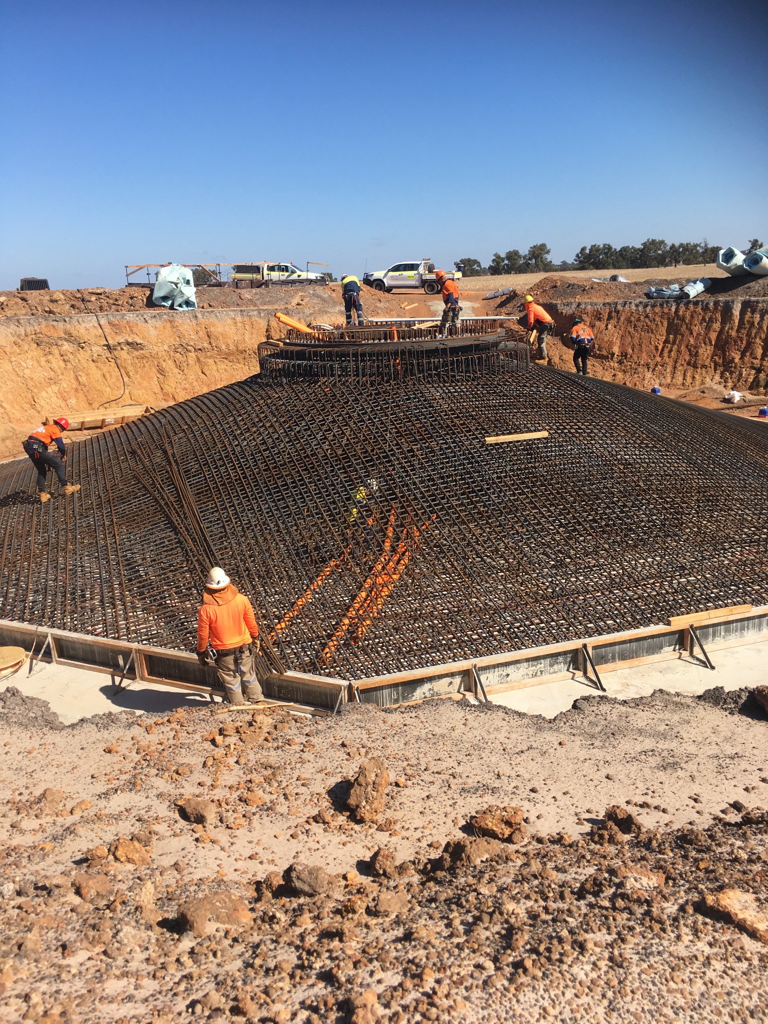
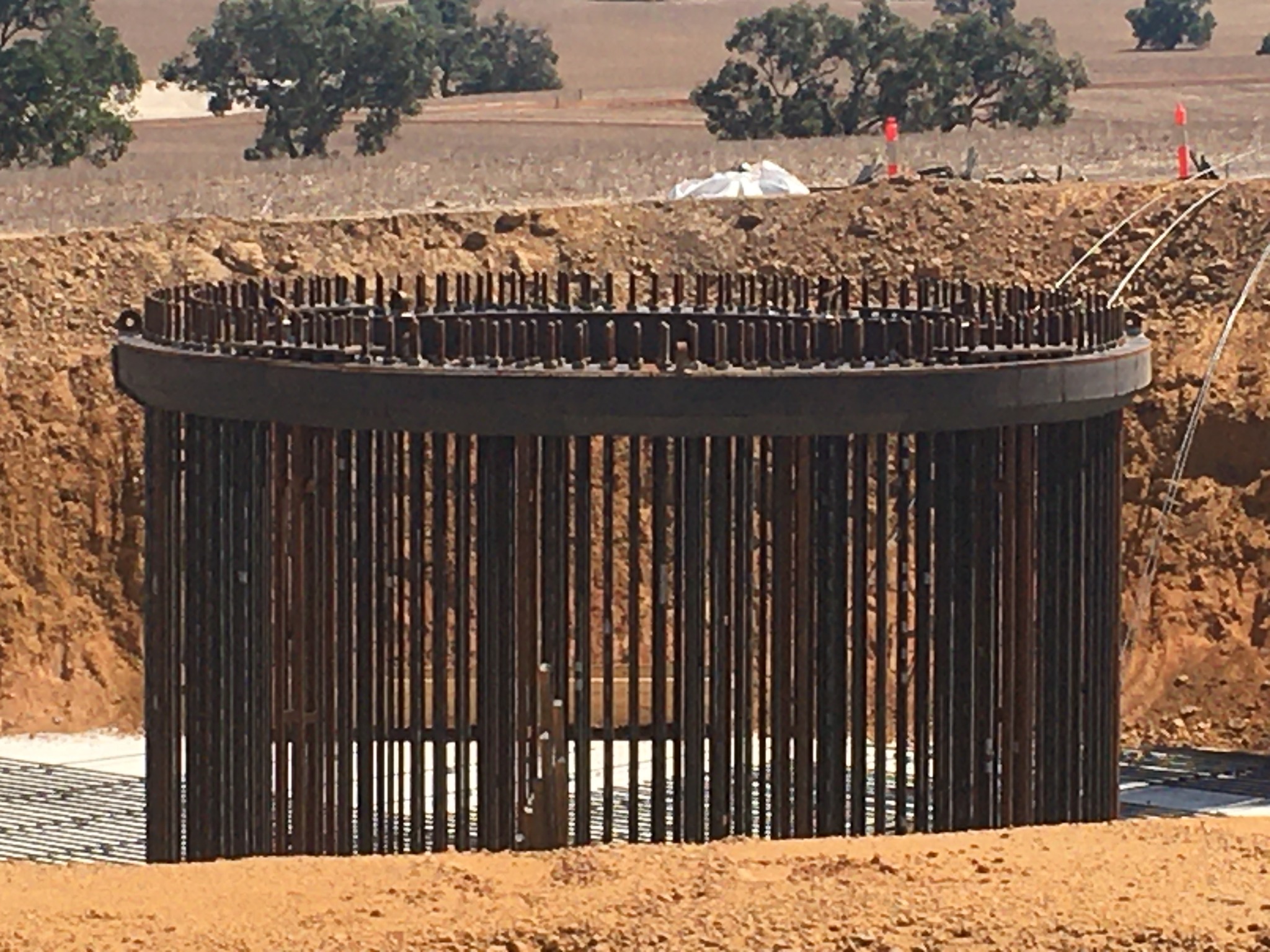
Wind farm
04
As-constructed & Conformance
Verification surveys and clear reporting to confirm completed works meet design requirements.
05
Control & Site Surveys
Control networks, levelling, survey marks, site measurements and project-specific field support.
06
Boundary Survey Services
Terra Surveys can arrange boundary identification, re-establishment and re-peg surveys through experienced WA Licensed Surveyors. We work closely with licensed survey professionals to provide a coordinated service, with all cadastral surveying and certification undertaken by the appropriately Licensed Surveyor.
07
Subdivision Planning & Survey Support
From initial site assessment through to subdivision planning, Terra Surveys can help establish the survey information needed to get your project moving. We provide accurate site data, feature and level information, preliminary survey support and coordination with WA Licensed Surveyors where cadastral work is required.
08
Granny Flat & Secondary Dwelling Surveys
Planning a granny flat or secondary dwelling on an existing property? Terra Surveys can provide the accurate site levels, features and existing-condition information needed to help designers, builders and consultants assess the available space and plan the project.
A detailed Contour & Feature Survey can form the base for design, property development and Local & State approval requirements, helping identify existing buildings, ground levels, access, services and surrounding site features before design work begins.